This post may contain affiliate links. As an Amazon Associate I earn from qualifying purchases, but there is no additional cost for you. Please see my Disclosure page for more information.

Last summer, the boys and I attempted to hike to Big Branch Falls in Shenandoah NP. I say attempted, because I quickly realized that 1. it was really, really hot and humid, 2. we were climbing the whole time before we turned around, 3. the falls were a lot further away than I expected, and 4. the water levels were low enough to make me doubt that it would be worth it to continue all the way to the falls.
So we turned around at the first river crossing, about three quarters of a mile from where we started. It was a bit disappointing to miss the falls, but it was the right decision that day.
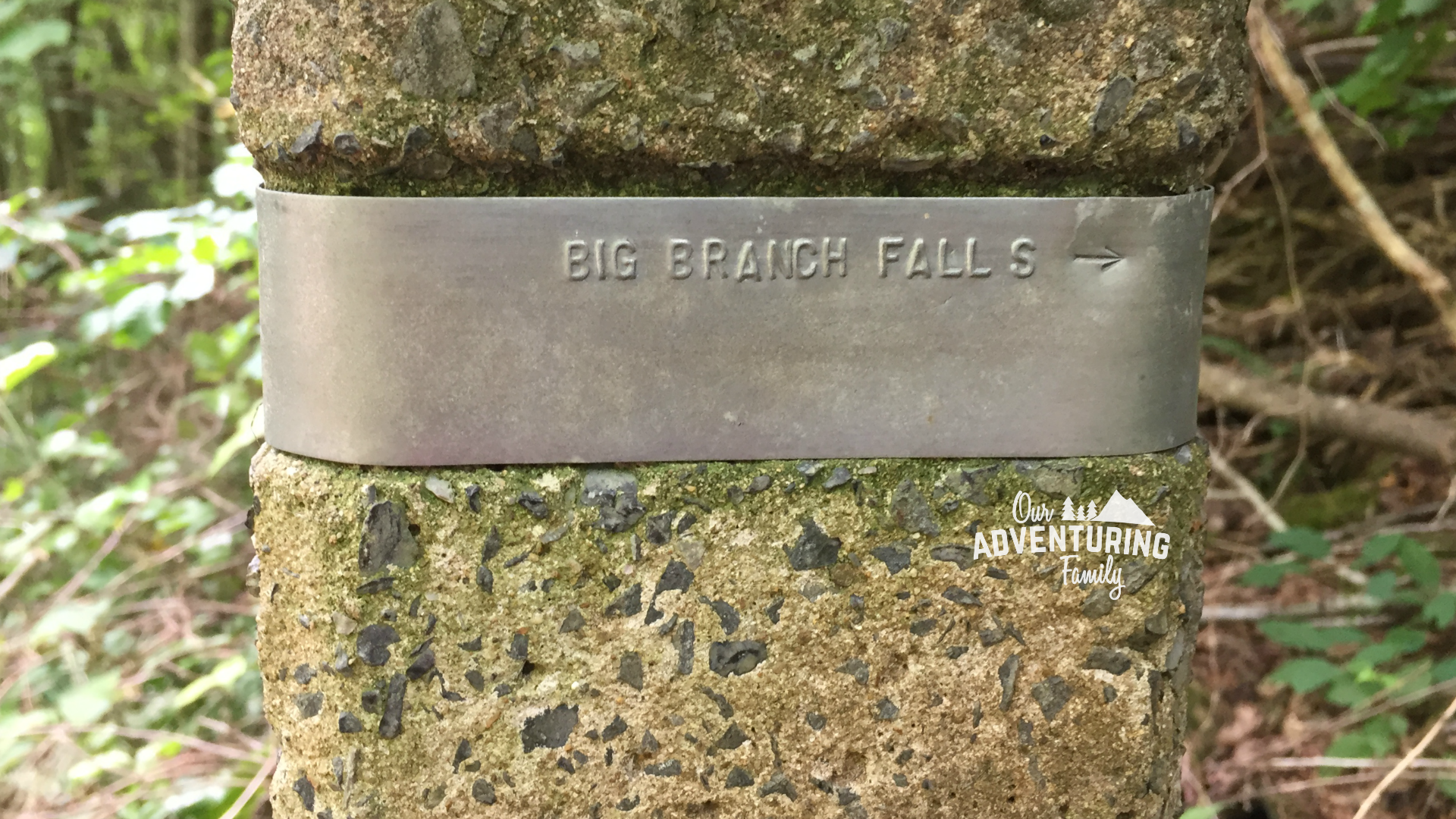
Fast forward almost a year, and we attempted the hike a second time. This time we were prepared. I’d checked the maps and read through other hikers’ accounts, so I thought I knew what to expect. Unfortunately, we missed the mark, again. We reached the point where the trail forked, and I thought the falls were supposed to be right there, though I couldn’t see them. I saw the sign post pointing to Big Branch Falls, but I had it in my head that we were looking for Black Rock Falls (still not sure where I got that name from), so we didn’t follow that trail. Oops.
We hiked back down to the map at the trailhead and saw that we were indeed supposed to go up the trail to Big Branch Falls, and had just missed seeing the falls by less than two tenths of a mile.
Sigh.
The thing is, I’d taken a picture of the map just to avoid this situation. But I didn’t take a picture of the paragraph below the map, stating that the falls were up the short spur trail. I thought the trail had already jogged to the place where the falls were should be and that they were super close to the main trail. While they were close, they weren’t close enough to see from where we were.

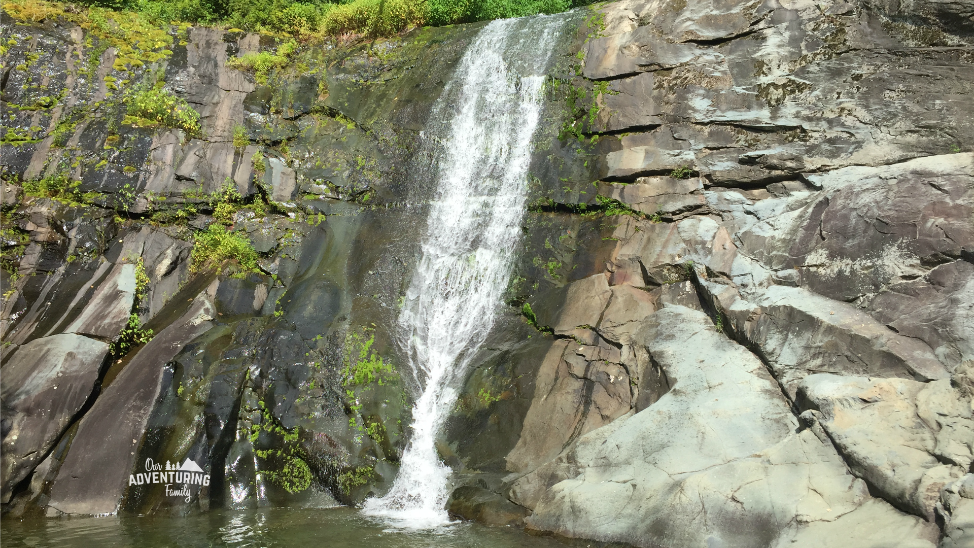
The following week, the boys and I tackled the hike again, determined to finally see the falls (Sunshine was at nature camp during this attempt and the first attempt, but was with us for the second attempt). We knew exactly what to expect this time and what to look for, and we finally reached the falls. Though we noticed that the water levels were significantly lower than just a week earlier, so I’m glad we didn’t delay our third try.
So was it worth all the sweat and effort and multiple attempts? Of course! Waterfalls are always worth the hike 🙂 You can see some of our favorite waterfalls here, here, here, here, and here.

Hiking to Big Branch Falls, Shenandoah NP
Length
4.5 miles from the parking lot to the falls and back
Elevation gained
376 feet, though that might be just from the trailhead. The trail from the parking lot to the trailhead does have a steep initial climb. Most of the hike to the falls is flat-ish to gradual incline, with some steeper parts here and there. This means the return trip is flat-ish to gradual decline, which makes for a slightly quicker return trip.
Trailhead location
Just west of the Charlottesville Reservoir, on the eastern border of Shenandoah NP
Trail conditions
Though Big Branch Falls is in Shenandoah NP, you do not need to pay an entry fee to hike this trail.
The trailhead and sign with a map are actually about half a mile from the parking lot. There used to be a parking lot next to the trailhead, but the road to it is now impassible to most vehicles and is locked and gated, so you have to park at the lower parking lot.
There are some challenging climbs that are steep and rocky, but nothing a 4 year old and a 41 year old with a 35 pound toddler strapped to her back couldn’t handle. The worst climb was the tall steps just after the cement trail marker- they were just a bit steep for me and my tired legs (which were already tired before this hike because I ran a hilly 5k the day before).
Some stretches of the trail had good size rocks you had to walk on, and in a few cases, climb on, but most other stretches were just dirt.

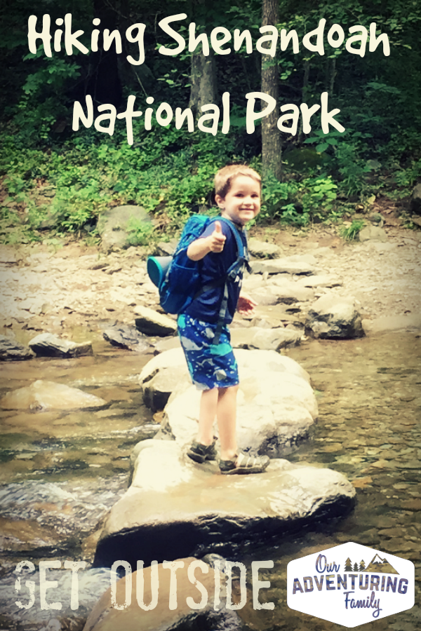
There are 3 river crossings, and whether you get your feet wet will depend on the water level. On our first attempt, the stepping stones were high and dry and we walked across the first crossing without any problems before deciding to try another time and turning around. When we tried the second time, the water was higher and flowing over the stepping stones, and we waded across each of the crossings. On our third attempt, the water was low enough to get across the first crossing on the stepping stones, but not quite low enough for that at the second and third crossings.
When you get to the cement trail marker, turn left and follow the arrows for Big Branch Falls. The trail is steep, but short. If you follow the trail to the right, you’ll cross the water again, then end up at Skyline Dr after another 3.7 miles of hiking.
It’s 2.25 miles from the parking lot to Big Branch Falls, which took us about 1 hour and 10 minutes, going the speed of a 4 year old.
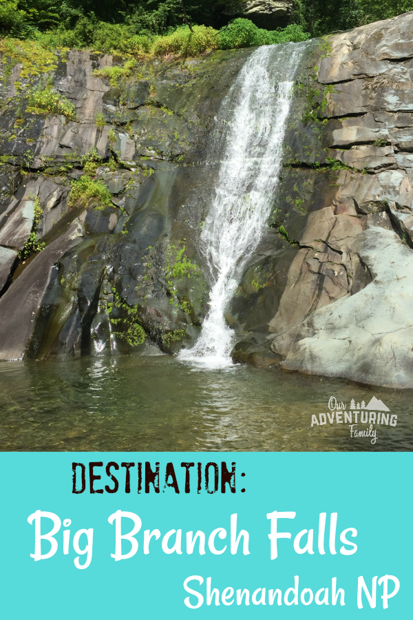
There’s some swimming holes you can cool off in, though we didn’t try to swim since it was just me and the boys, who didn’t have life jackets. The base of the waterfall has a nice looking pool, and the 2nd river crossing also has a nice deep spot.
Have you ever hiked to Big Branch Falls?
Being part of the 52 Hike Challenge helps me stay motivated to keep hiking, even through the dog days of summer. Want to join the 52 Hike Challenge yourself? It’s not too late. The 52 Hike Challenge does not operate on a calendar year, so you can sign up at any time throughout the year, and you have 12 months to complete 52 hikes. Sign up using my link and I’ll earn a small commission at no additional charge to you. You can also click on the 52 Hike Challenge image in the right sidebar.

